Log in
All resources
Create a design
52,957 Free Images of Maps Facing West
west-indische compagnie
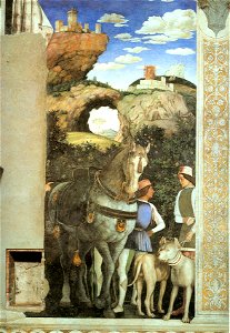
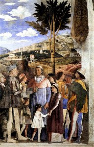
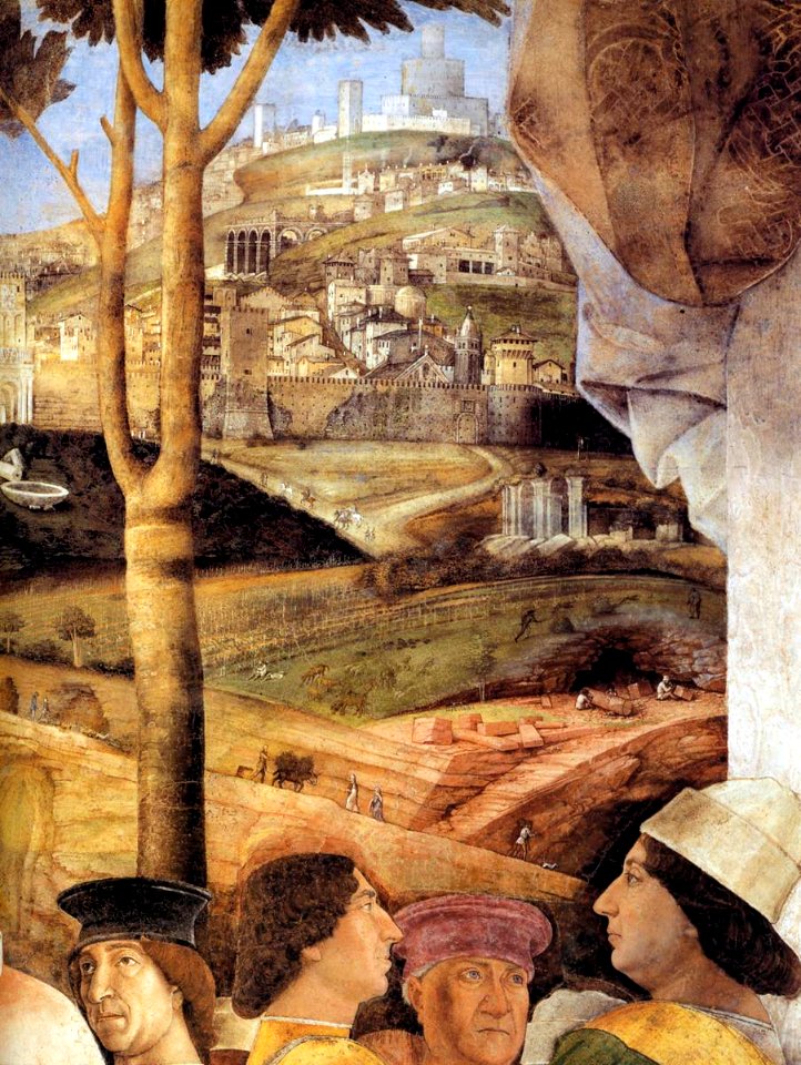
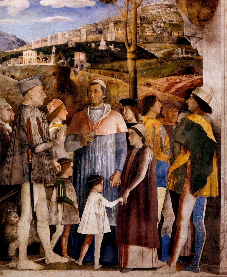
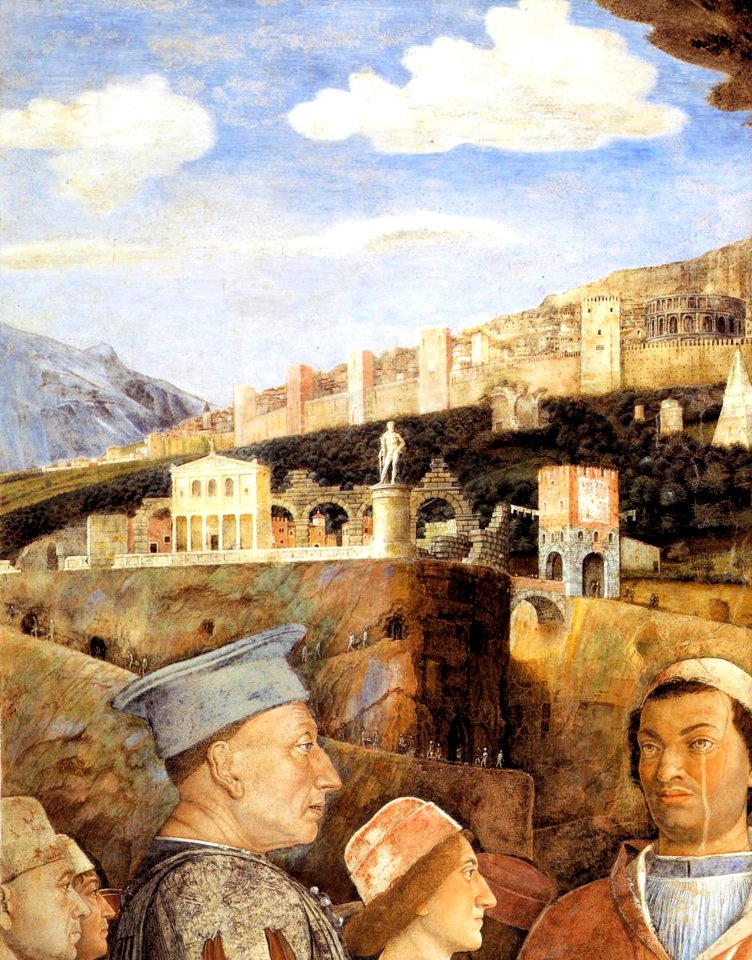
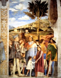
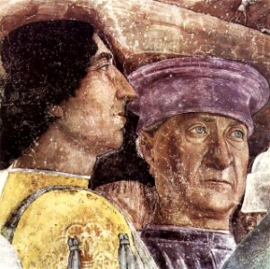
camera picta - west wall - the meeting
1732
awnsham churchill
david rumsey historical map collection
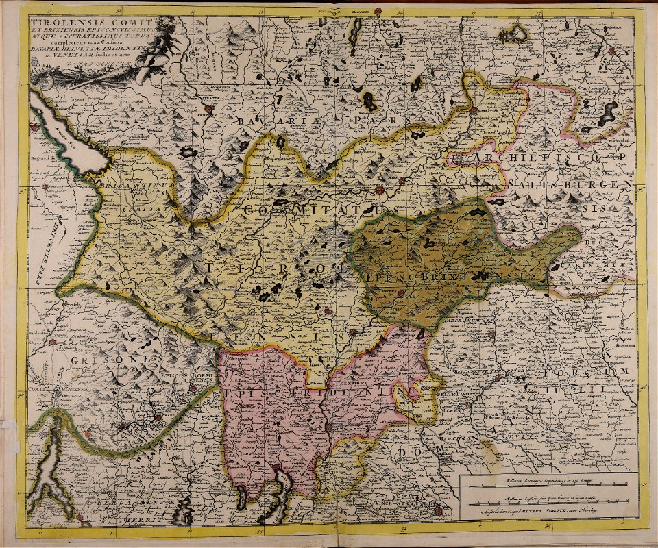
maps made in the 17th century
maps by pieter schenk (i)
maps by william faden
1785 maps
maps in the library of congress
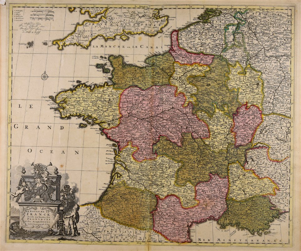
french-language maps
johannes ratelband
history of cape town
german-language maps
old maps of the dutch east india company
1757 maps
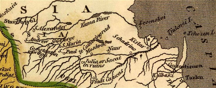
kingdom of serbia (1718–1739)
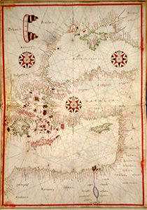
maps of the sea of marmara
frédéric-auguste laguillermie
molière
1862 in paris
1862 maps
david rumsey historical map collection
jr
description of kingdom of georgia
its habits and canons
maps made in the 17th century
maps by nicolas sanson
maps made in the 17th century
maps by nicolas sanson
maps in the library of congress
new york
maps made in the 17th century
1700 maps of lithuania
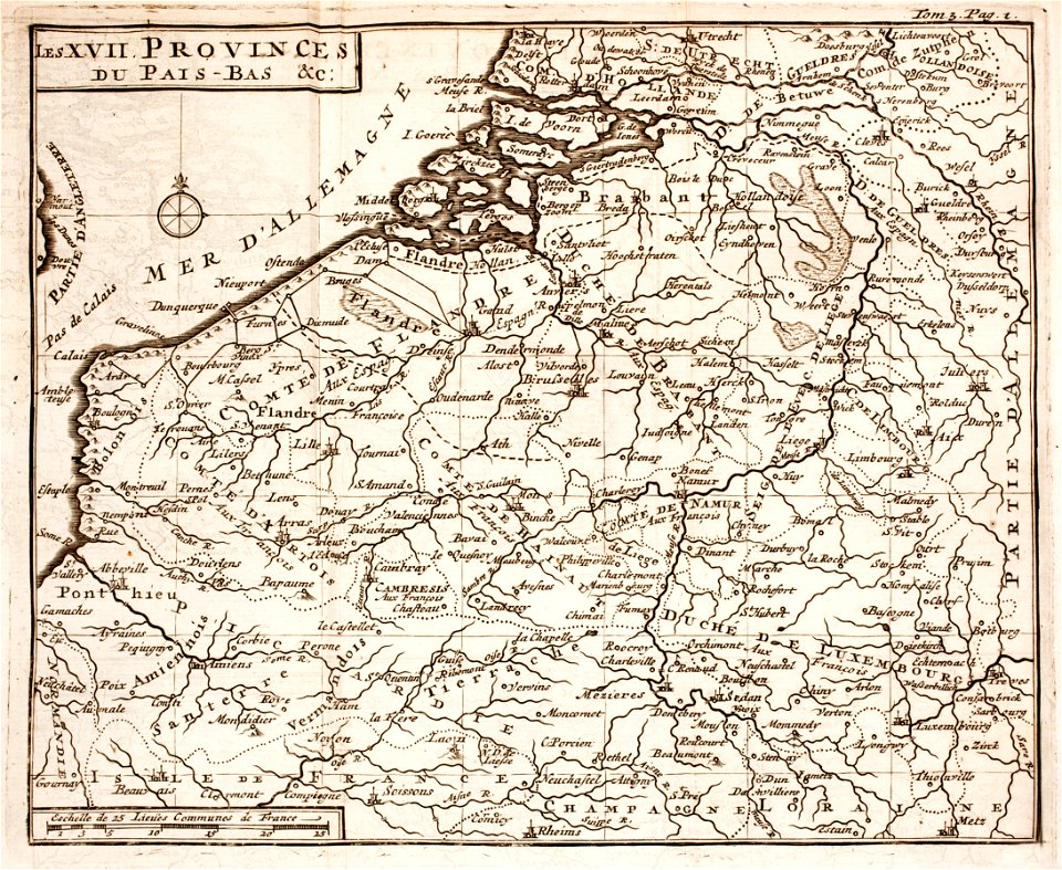
1700s maps of belgium
old maps of lorraine
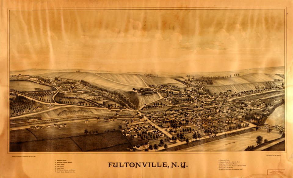
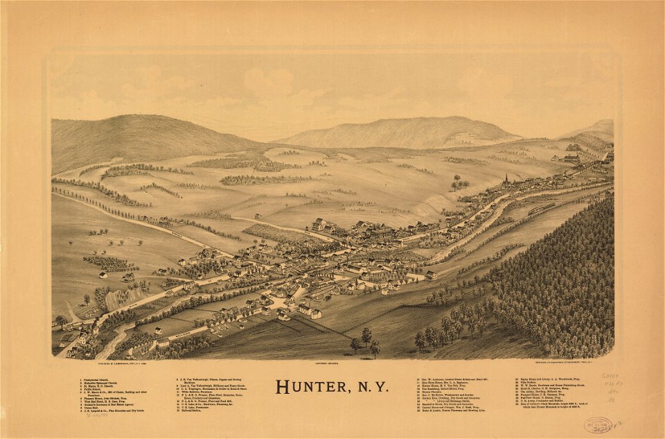
new york
hunter
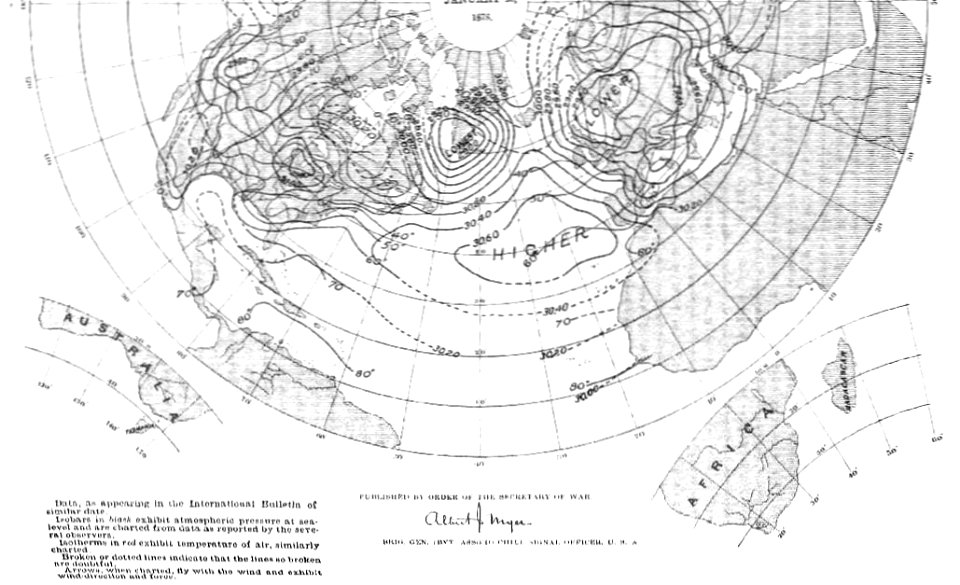
old weather and climate maps
1880 maps
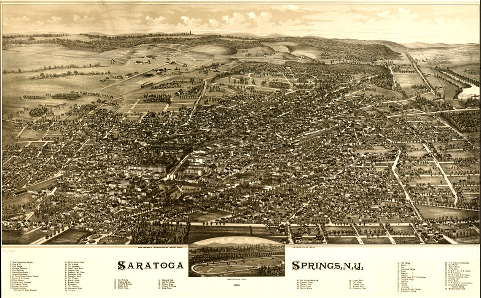
saratoga springs
new york
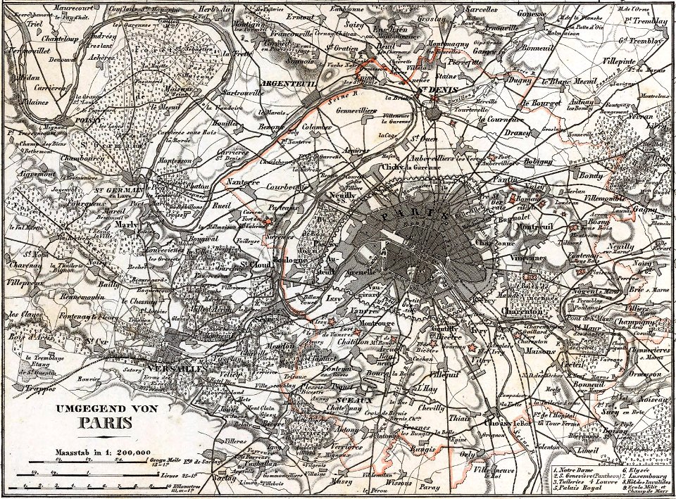
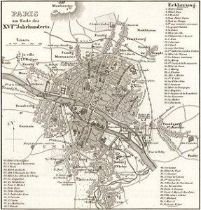
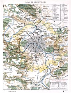
maps of paris from the david rumsey historical map collection
paris in the 16th century
maps made in the 18th century
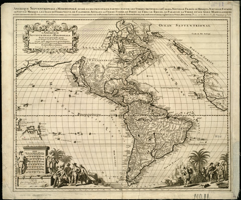
old maps of europe
maps made in the 17th century
old maps of trentino
maps made in the 17th century
maps by johannes janssonius
1900s maps of paris
1900 in paris
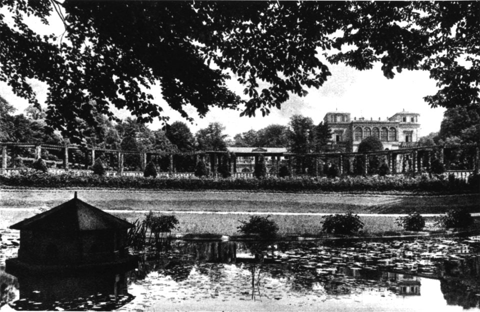
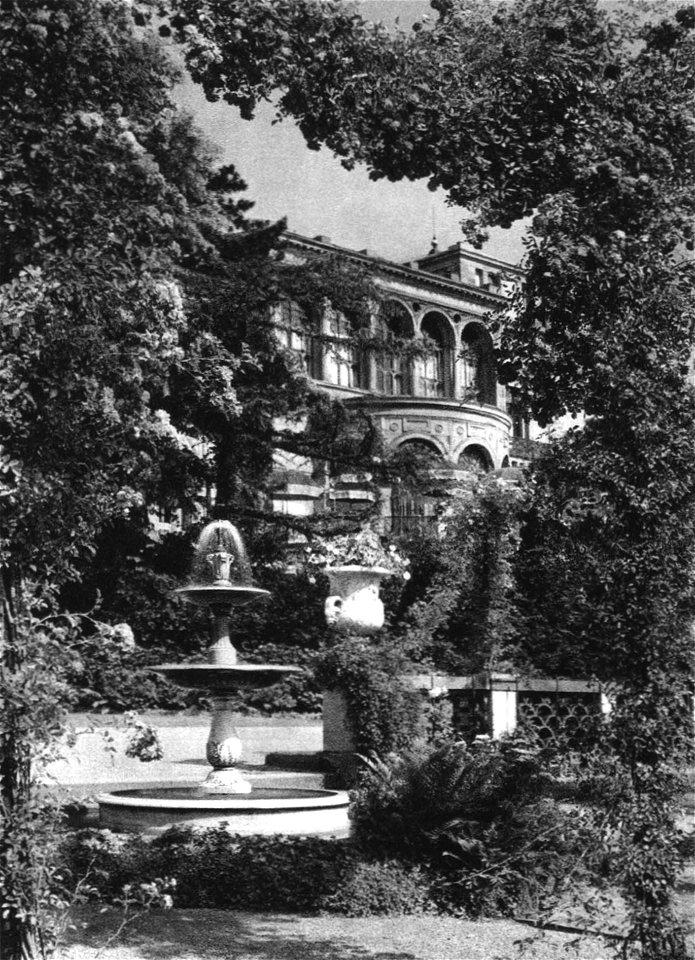
villa berg north
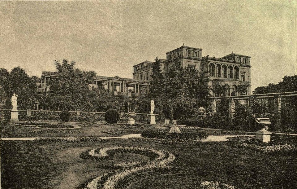
villa berg west
villa berg north
villa berg west
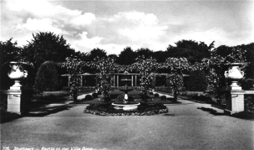
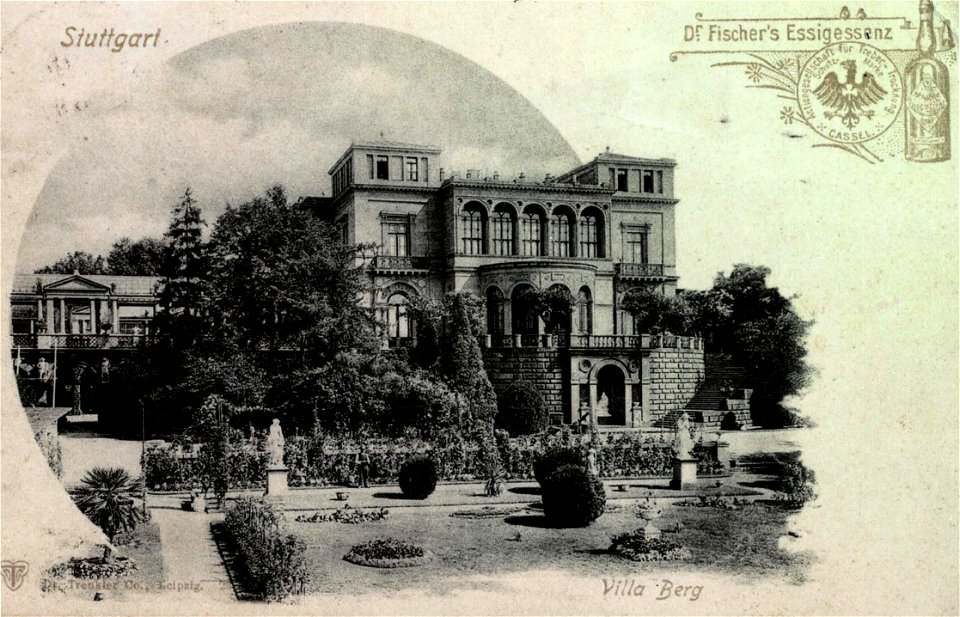
postcards of stuttgart
villa berg west
postcards of stuttgart
villa berg west
villa berg north
villa berg west
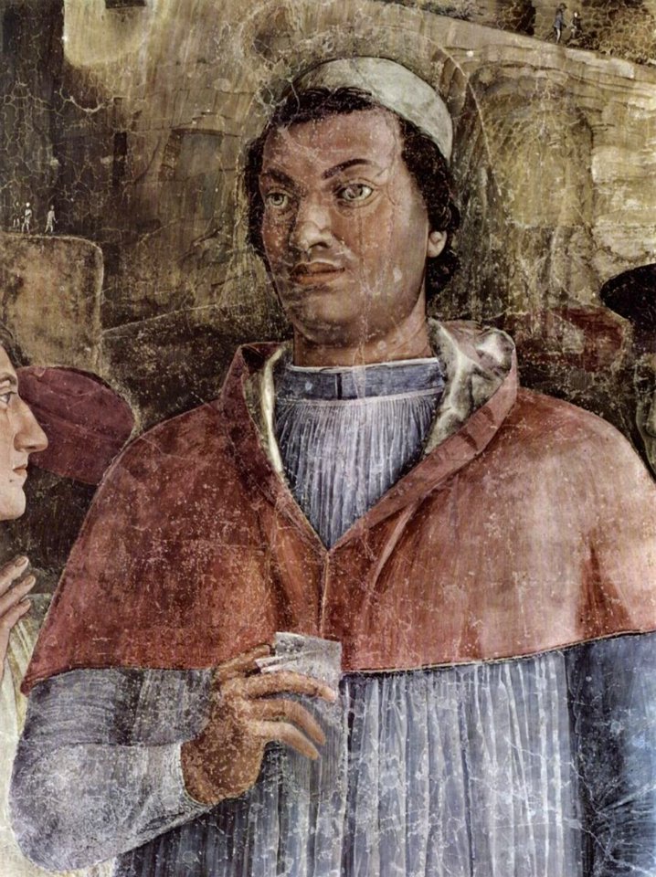
camera picta - west wall - the meeting
camera picta - west wall - the meeting
portraits by benjamin west
arthur middleton
camera picta - west wall - the meeting
camera picta - west wall - the meeting
camera picta - west wall - the meeting
camera picta - west wall - the meeting
camera picta - west wall - the meeting
camera picta - west wall - the meeting
camera picta - west wall - the meeting
camera picta - west wall - the meeting
camera picta - west wall - the meeting
camera picta - west wall - the meeting
camera picta - west wall - the meeting
camera picta - west wall - the meeting
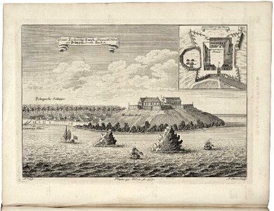
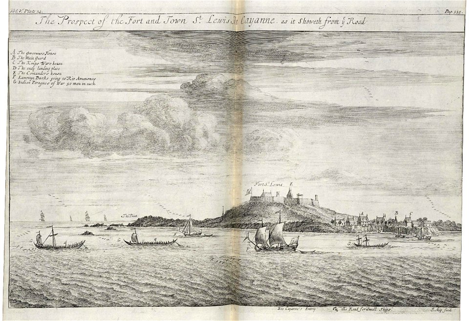
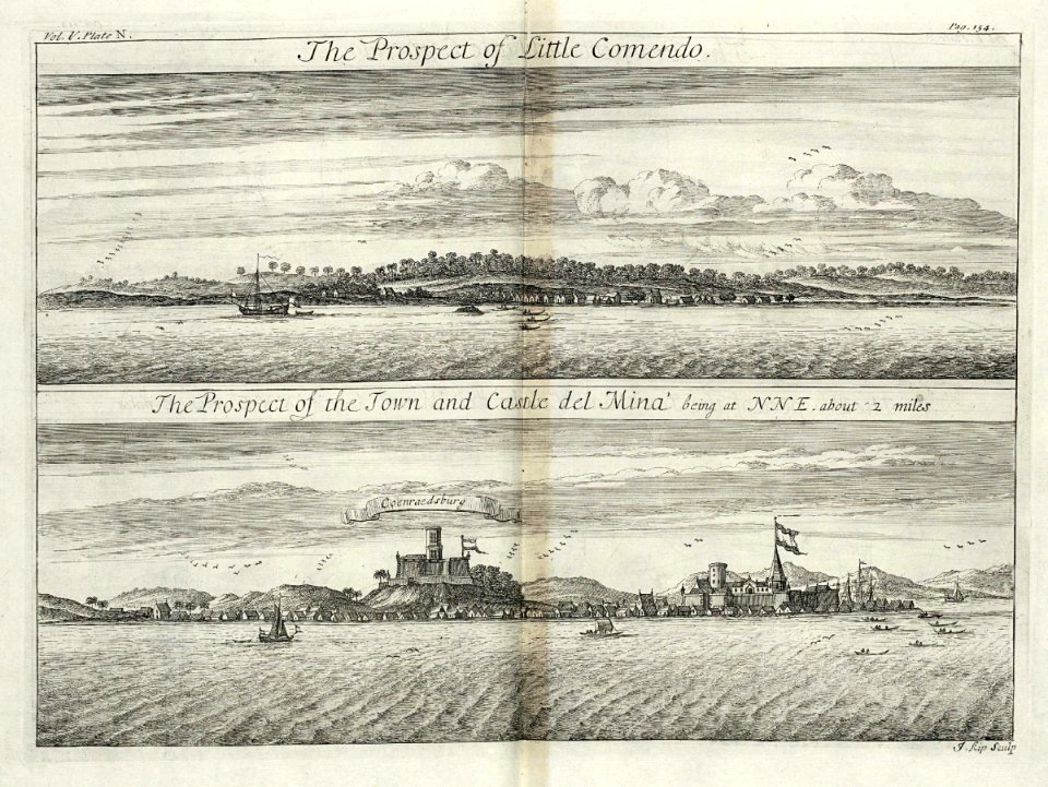
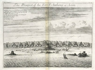
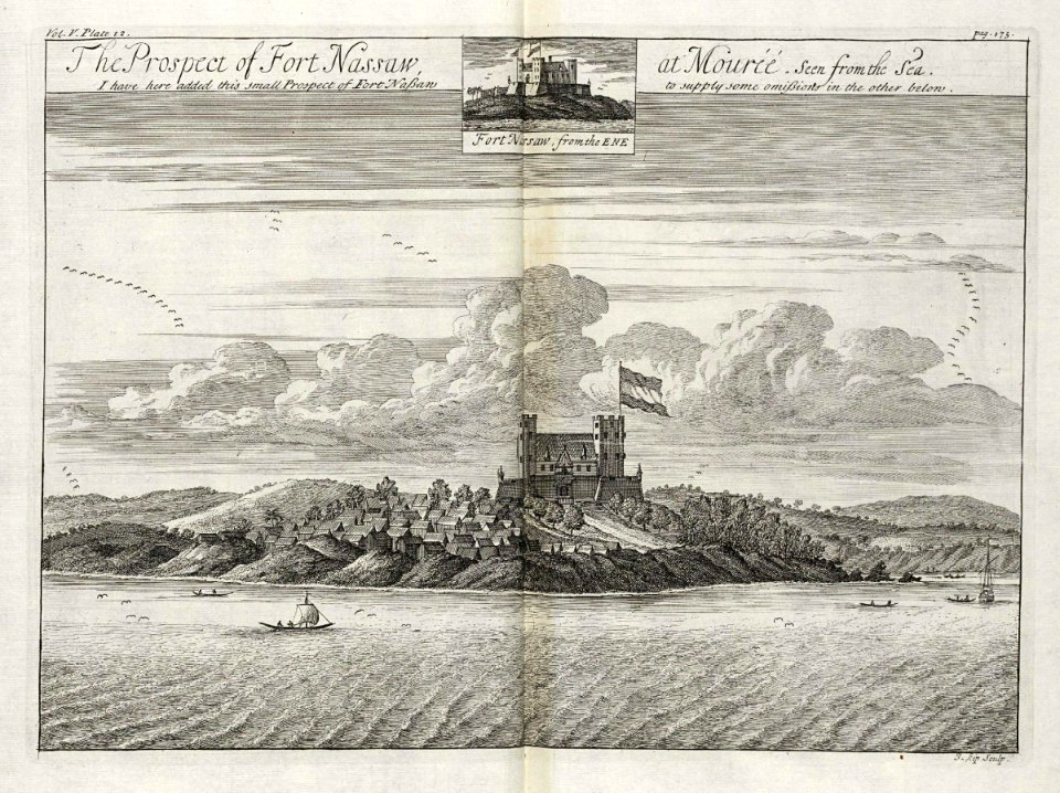
west-indische compagnie
1732
west-indische compagnie
1732
west-indische compagnie
1732
west-indische compagnie
1732
west-indische compagnie
1745
west-indische compagnie
1732
west-indische compagnie
1745
west-indische compagnie
1732
west-indische compagnie
1732
west-indische compagnie
1732
west-indische compagnie
1732
west-indische compagnie
1732
west-indische compagnie
1745
west-indische compagnie
1732
west-indische compagnie
1745
west-indische compagnie
1732
west-indische compagnie
1732
portraits by benjamin west
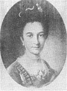
calvert family
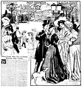
missouri
st louis
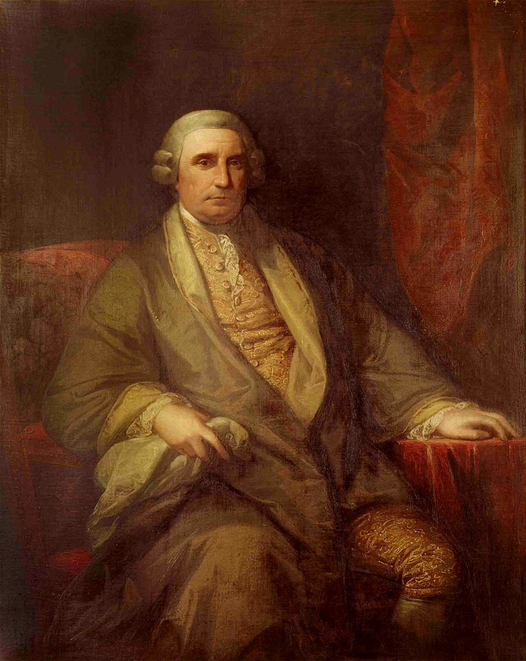
portraits by benjamin west
henry middleton
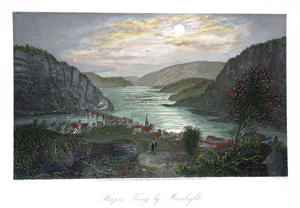
harpers ferry
west virginia
itinerario (jan huygen van linschoten)
latin-language maps
pictorial maps
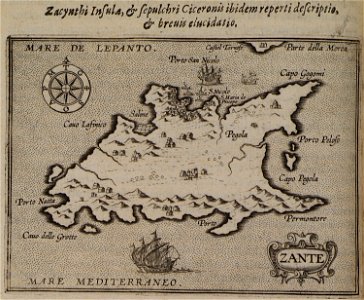
barbados
hans muelich - portraits of men
albert v, duke of bavaria
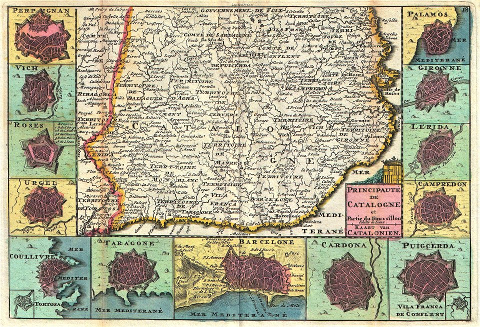
maps with cartouches
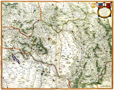
maps of reims
16th-century maps of the black sea
maps in the library of congress
maps made in the 17th century
gerard valck
maps made in the 17th century
gerard valck
french-language maps
gerard valck
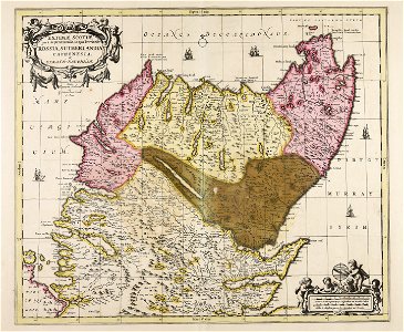
old maps of georgia (u.s. state)
maps in the library of congress
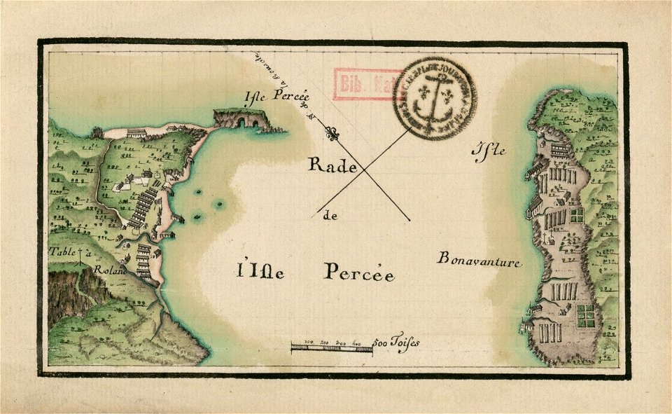
île bonaventure
percé
dutch-language maps
atlas van loon
braun & hogenberg
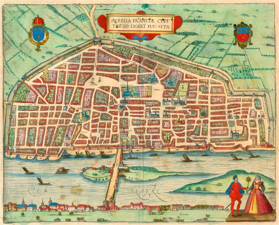
orléans
maps and topographical views by joris hoefnagel
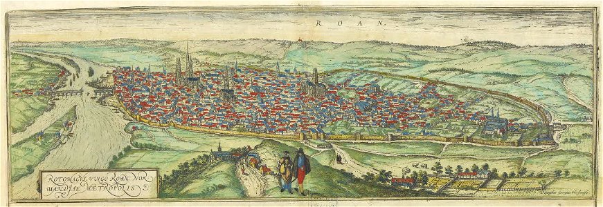
old maps of rouen
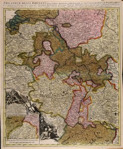
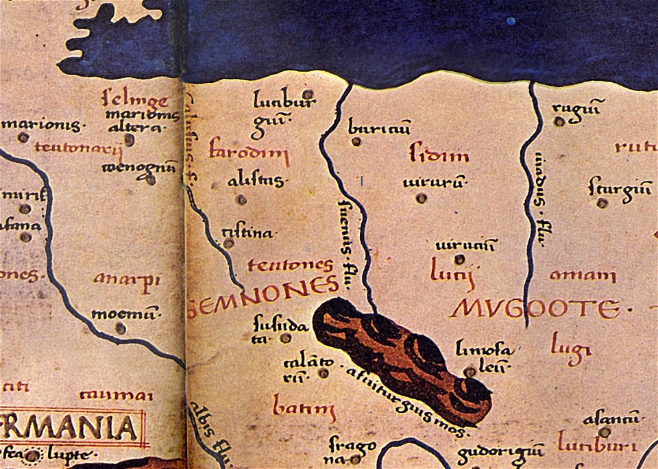
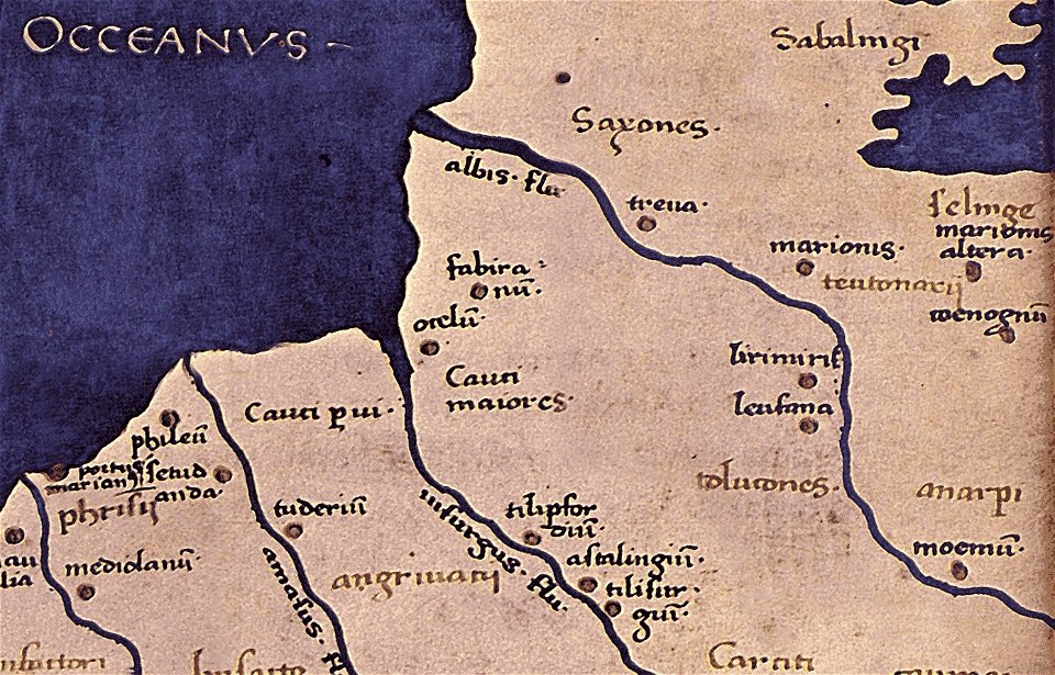
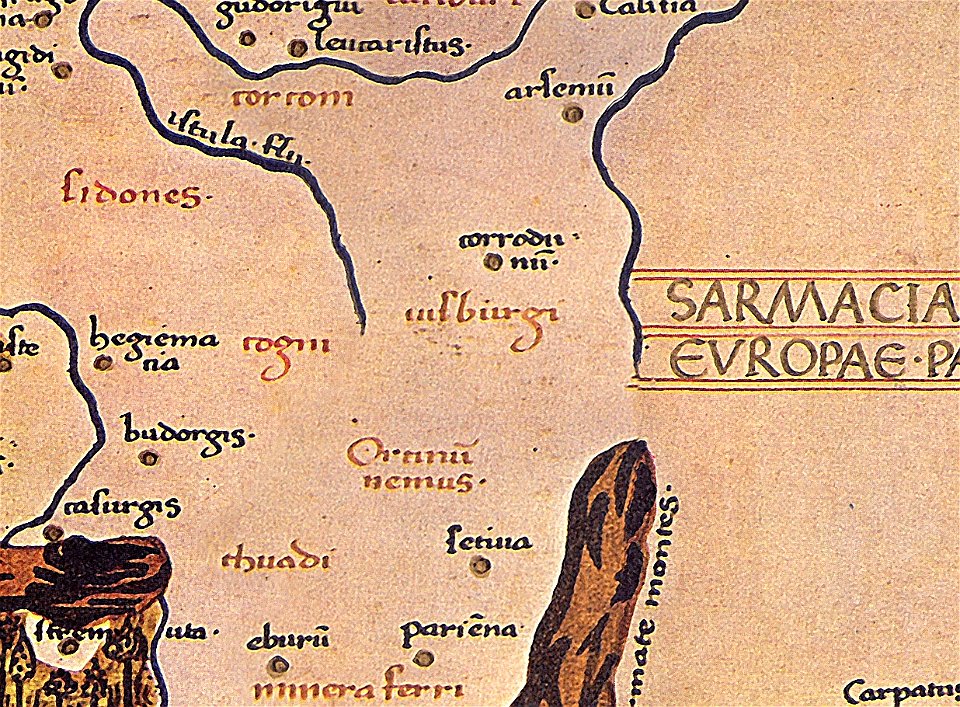
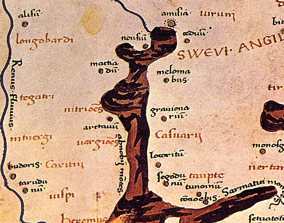
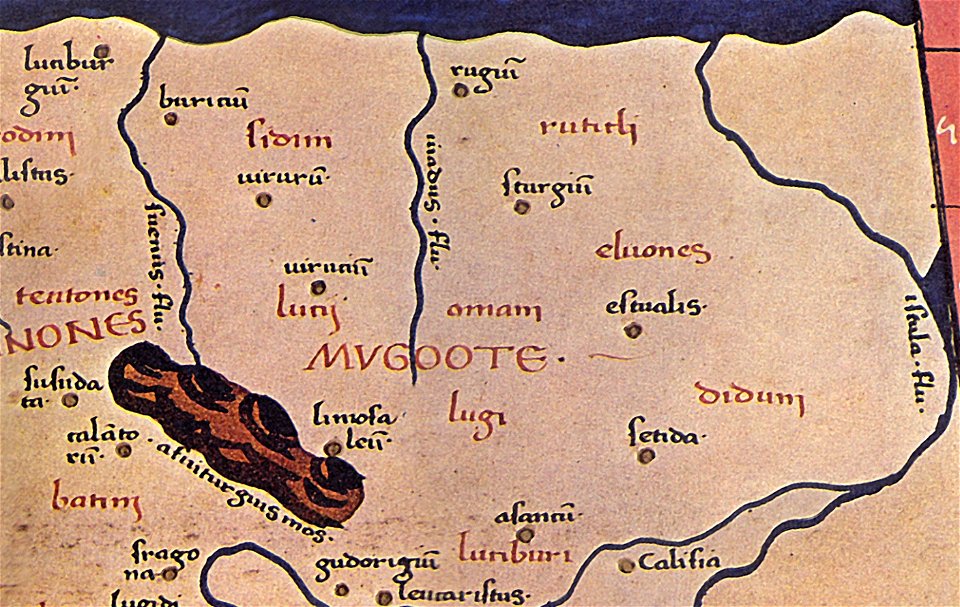
maps of germania magna
details of old maps
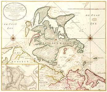
old maps of mecklenburg-vorpommern
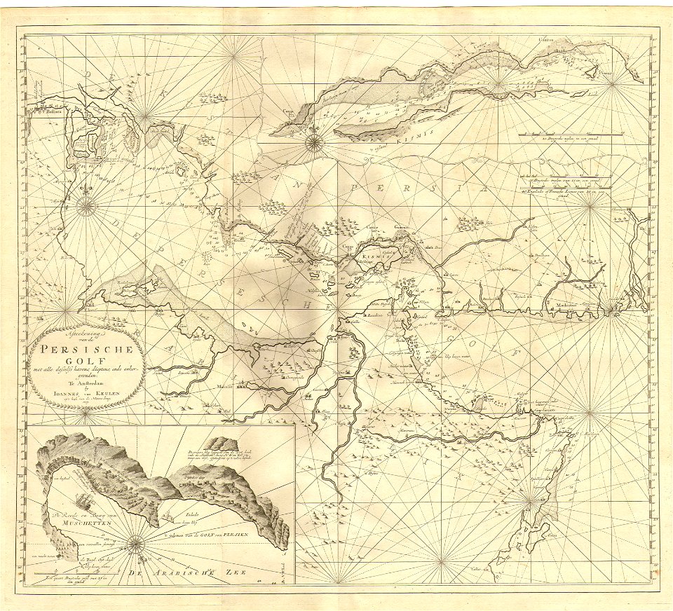
gerard van keulen
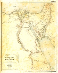
lepsius-projekt - maps
egypt in the 1850s
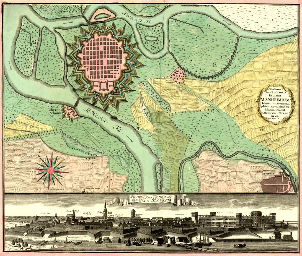
johann baptist homann
festung mannheim
maps of germania magna
details of old maps
johannes van keulen
1753 maps
maps of germania magna
details of old maps
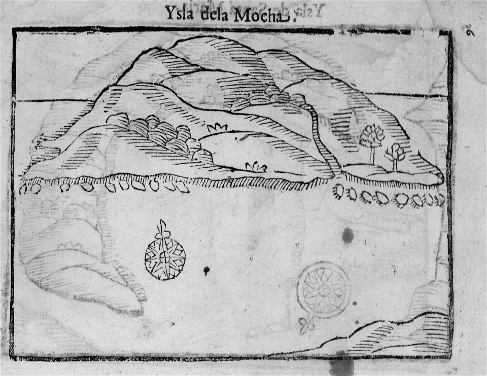
old maps of chile
alonso de ovalle
itinerarium hierosolymitanum et syriacum..., 1619
ships on maps
maps by gustav adolf von varendorf
maps of hamburg-billstedt
david rumsey historical map collection
maps by william faden
david rumsey historical map collection
maps by william faden
david rumsey historical map collection
maps by william faden
david rumsey historical map collection
maps by william faden
david rumsey historical map collection
maps by william faden
david rumsey historical map collection
maps by william faden
maps of the canton of basel-landschaft
old maps of switzerland
maps of germania magna
details of old maps
maps by willem and johannes blaeu
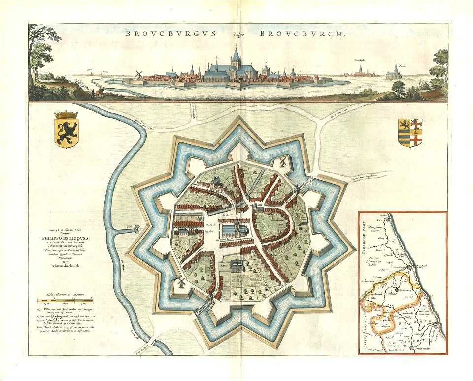
bourbourg
maps of germania magna
details of old maps
maps from turris babel
by athanasius kircher
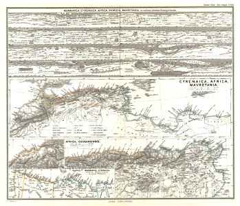
19th-century maps of africa
1865 maps
karl spruner von merz
1865 maps
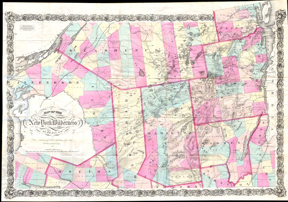
maps by joseph hutchins colton
1867 maps of new york (state)
maps by joseph hutchins colton
1855 maps of the united states
3201 - 3300 of 52,957
Next page
/ 530